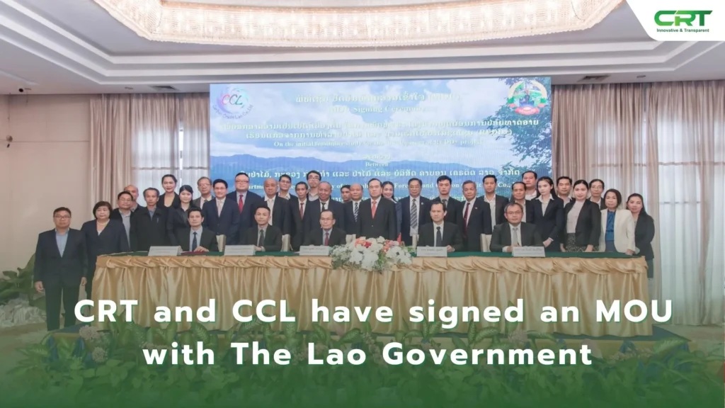
Carbon Registry Thailand (CRT) and Carbon Credit Laos (CCL) have signed an MOU with The Lao Government on cooperation in using satellite technology to calculate carbon credits.
Their cooperation marks the first time that advanced AI satellite technology will be used in Southeast Asia to prevent fraudulent carbon credit data.
This is a significant step under the Reducing Emissions from Deforestation in Developing Countries (REDD ) initiative, which focuses on reducing emissions from deforestation and forest degradation.
Lao Deputy Minister of Agriculture and Forestry Thongphath Vongmany said that Laos is proud to lead the region in using remote sensing technology for carbon credit initiatives.
He said it will be a great example in adopting satellite applications for carbon credit calculations, adding that this technology is crucial for reducing fraud, cutting costs, and speeding up processes, reinforcing the commitment to a greener future.
The official also said that this 170,559-ha project was just the beginning. With nearly 16 million hectares of forests, Laos has immense potential for future initiatives.
CCL Chairman Phouseuth Keophouvong said that the company is dedicated to using the most advanced technology for carbon credit calculation. This will greatly benefit communities in Lao.
Setting new standards, the pilot cooperation project represents a significant leap forward in carbon credit calculation, establishing new benchmarks for accuracy and transparency.
The goal is to improve how carbon content in forests is measured across Laos and the wider ASEAN region. Constant monitoring ensures that carbon credits maintain their value.
CRT Director Chalatchai Sundara said that the world is entering an era of transparency for carbon credits. People will soon see the real value of carbon credits.
Reference:

