ROLE OF SATELLITE TECHNOLOGY IN CARBON CREDIT VERIFICATION
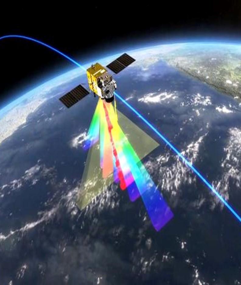
- Satellites contribute to carbon credit verification through their ability to monitor and measure various environmental parameters. By using a range of sensors, satellites can detect changes in vegetation cover, land use, and even the concentration of greenhouse gases in the atmosphere.
- Use lasers to measure the amount of carbon dioxide in the air between the instrument and Earth’s surface. Existing satellites use reflected sunlight to gauge carbon dioxide.
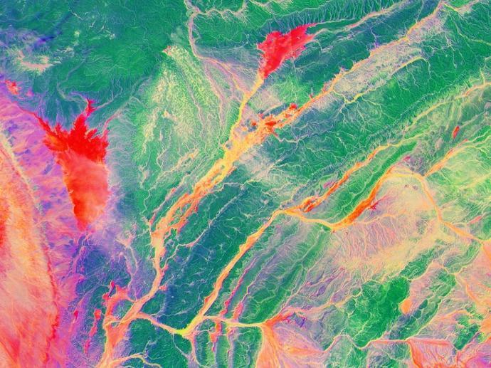
- Satellites offer more than just captivating visuals from space; they provide insights that reveal vital details about the environment. Whether it’s tracking deforestation rates, spotting pollution hotspots, or observing shifting climate patterns, satellite imagery offers a clear, unbiased perspective. By tapping into this wealth of data, businesses, policymakers, and researchers can make more informed decisions that favour the environment.
- Satellite technology has become indispensable in tackling environmental issues. And now, with the introduction of the carbon credit system, the importance of satellites in guiding sustainable decisions is set to grow even further.
- Satellite monitoring boasts extensive coverage, ensuring no corner remains unseen. The scale at which satellites operate is vast, covering entire regions in a single sweep.
- The accuracy of satellite data, refined by technological advancements, ensures minimal discrepancies and provides a trustworthy foundation for initiatives like the carbon credit market.


